01 · INSPECT
Source and drawing review
Check available coordinate information, layer conventions, source formats, reference files and target deliverable rules.

GeoProcess Consulting supports conversion and preparation of spatial and engineering data for CAD-based workflows. We focus on structure, layer organization, geometry consistency and deliverable requirements using client-provided source data and standards.
 POINT CLOUD
ENGINEERING DATA
GIS INTELLIGENCE
CAD handovers can lose value when coordinate information, layers, blocks, attributes or drawing conventions are inconsistent. A controlled conversion workflow preserves the information that downstream engineering teams need.
Check available coordinate information, layer conventions, source formats, reference files and target deliverable rules.
Convert or redraw specified information, organize layers, clean geometry and preserve required attributes or drawing references.
Review units, extents, layer naming, missing objects, visual alignment and export readability against the handover checklist.
CAD conversion should preserve geometry intent and keep the drawing organized. A clean file uses agreed layers, units, coordinate references and a practical level of detail.
Trace or convert the required features, set drawing units, align reference information, and keep source and interpreted geometry distinguishable where needed.
From client-provided scans or point clouds, prepare agreed floor plans, elevations, cross-sections, profiles and feature lines. Visibility gaps and scan coverage affect the level of detail that can be supported.
Review duplicate lines, disconnected geometry, incorrect units, layer names, line types, text readability, external references and file-opening compatibility.
DWG/DXF files, layer or feature mapping notes, reference files where agreed, and an exceptions list for geometry that needs client clarification.
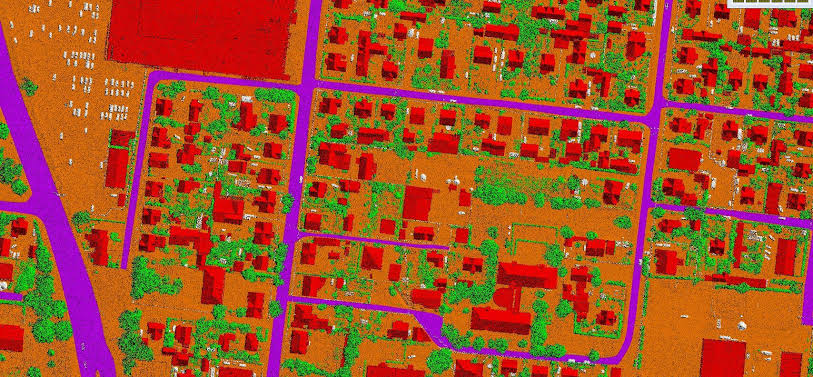
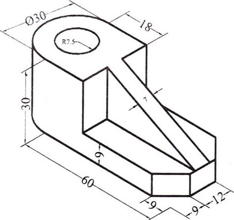
Illustrative outputs from related geospatial workflows. Final deliverables are agreed to the project specification.

Field surveying and data acquisition are not included unless separately arranged; this service focuses on processing client-provided information.