OPTICAL LIDAR LENS // CALIBRATING
000%
SYNCHRONIZING POINT-CLOUD TELEMETRY
GEOSPATIAL PROCESSING · ENGINEERING · INTELLIGENCE

We turn complex spatial data into workable information.

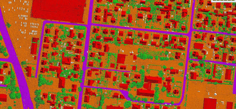
From dense LiDAR point clouds and aerial imagery to GIS databases, terrain models, 3D mapping and BIM-ready outputs, GeoProcess builds the processing layer that takes project data from raw geometry to a deliverable people can trust.

LiDARGIS3D MappingPhotogrammetryDTM / DSM / DEMCAD / BIMAutomation
FIELD DATA / PROCESSING GPC
POINT CLOUD ENGINEERING DATA GIS INTELLIGENCE
GEOSPATIAL WORKFLOW
FIELD DATA / PROCESSINGFrom raw source data to engineering-ready outputs.
Core capabilities

Eight connected disciplines. One production mindset.

Our services are designed as a chain, not a menu. A classified point cloud can become a terrain model. That terrain can support GIS. GIS can support analysis. The same structured information can move into 3D, CAD, BIM or operational workflows.

GIS and spatial data management
02 · GIS

GIS & Spatial Data Management

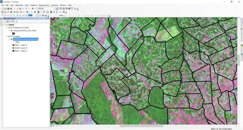
Structure spatial information so assets, attributes and relationships become searchable, analyzable and operational.

  • Spatial databases
  • Data organization
  • Map-ready layers
3D geospatial modeling
03 · 3D

3D Mapping & Geospatial Modeling

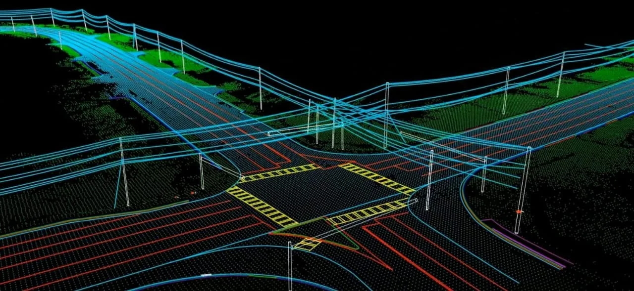
Convert three-dimensional survey information into clear models for infrastructure, terrain and spatial measurement.

  • Corridor visualization
  • 3D asset layers
  • Spatial measurement
Photogrammetry and aerial mapping
04 · UAV / IMAGERY

Photogrammetry & Aerial Mapping

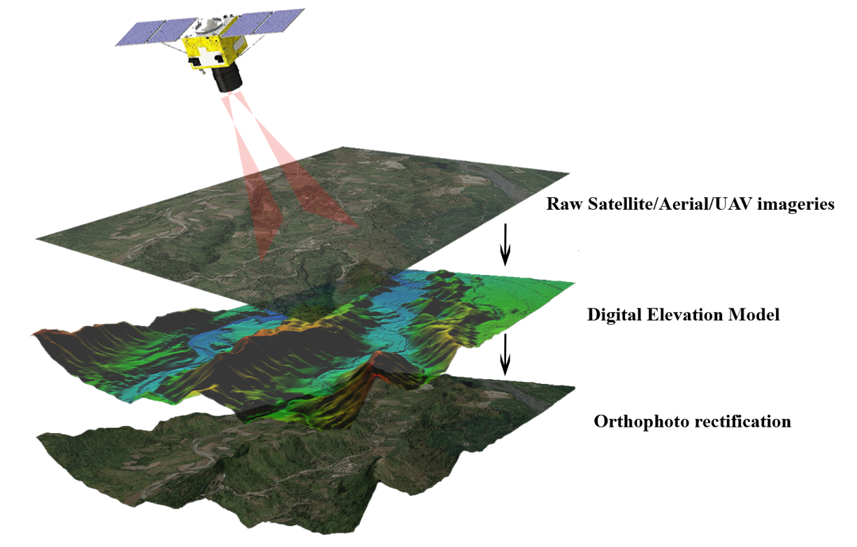
Process aerial imagery into consistent mapping and elevation products for project and engineering use.

  • Orthophoto workflows
  • Aerial survey processing
  • Elevation products
Point cloud quality assurance
05 · QUALITY

Point Cloud Processing & QA

Clean, inspect and validate spatial products before they move into downstream engineering or GIS workflows.

  • Point-cloud QA
  • Consistency checks
  • Delivery validation
DTM DSM DEM terrain modeling
06 · TERRAIN

DTM, DSM & DEM Generation

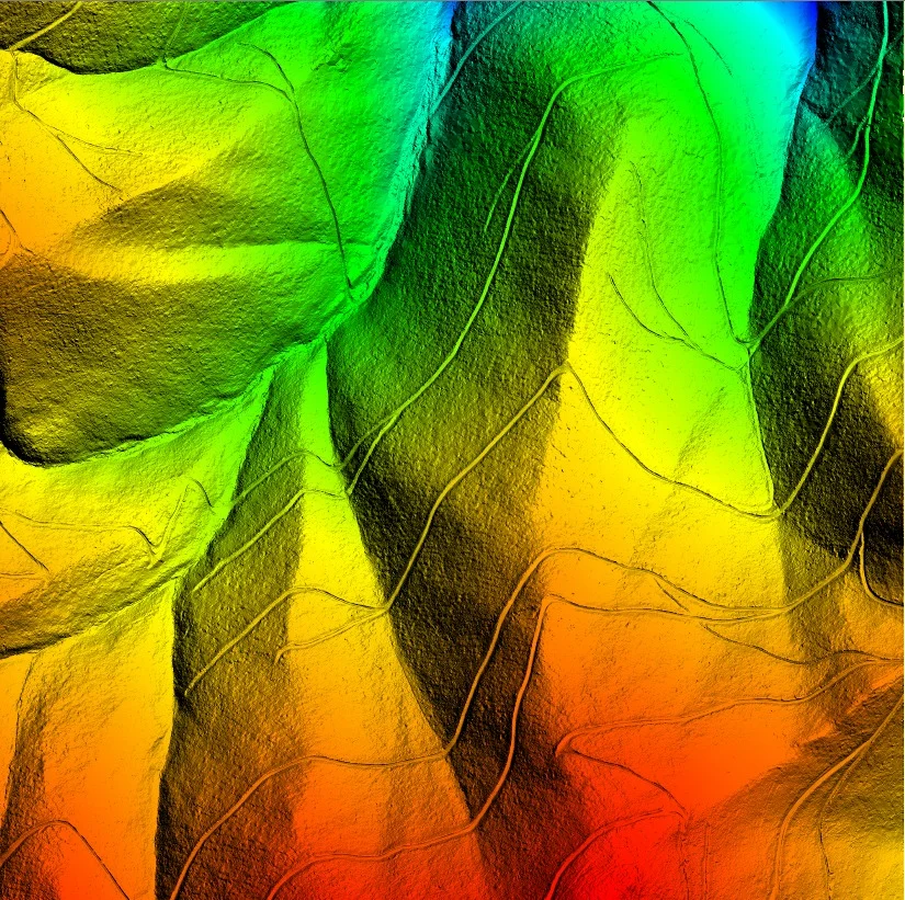
Build bare-earth and surface models from classified elevation information for mapping and analysis.

  • DTM bare earth
  • DSM surface
  • DEM generation
BIM LOD 400 and LOD 500 modeling
07 · BIM

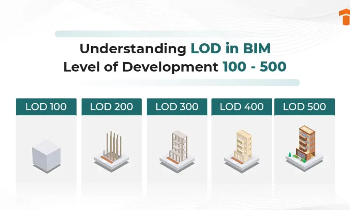
BIM Modeling — LOD 400 & LOD 500

Develop 3D engineering and BIM-oriented outputs for asset, design and project delivery workflows.

  • LOD 400 modeling
  • LOD 500 modeling
  • Engineering outputs
Geospatial automation and spatial analysis
08 · AUTOMATION

Geospatial Automation & Analysis

Build repeatable processing and analytical workflows that reduce manual effort and improve consistency.

  • Spatial analysis
  • Workflow automation
  • Decision-ready outputs
How the services connect

One dataset can support an entire project.

We approach every assignment as a controlled information pipeline. The exact steps vary by project, but the principle remains the same: preserve spatial integrity while progressively increasing usefulness.

01 · RECEIVE

Project Data

LiDAR, imagery, point clouds, specifications and existing spatial information.

02 · PREPARE

Normalize & Inspect

Coordinate systems, data integrity, tiles, density and project requirements.

03 · PROCESS

Classify & Extract

Ground, vegetation, structures, features and terrain are organized.

04 · ANALYZE

Model & Understand

Surfaces, corridors, assets and spatial relationships become measurable.

05 · DELIVER

Engineering-Ready

GIS, CAD, BIM, 3D, reports and structured datasets ready for use.

Flagship capability · Utility intelligence

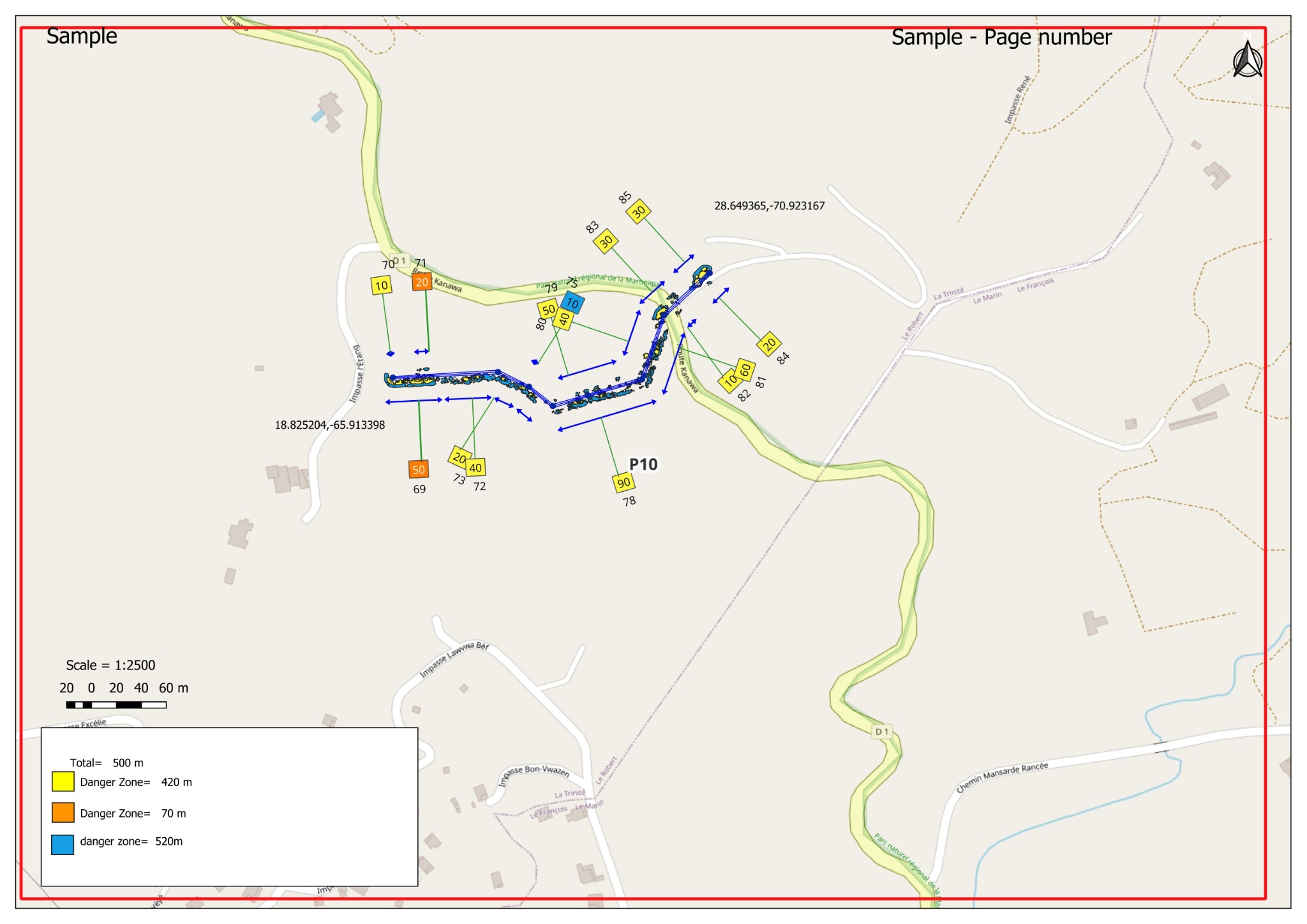
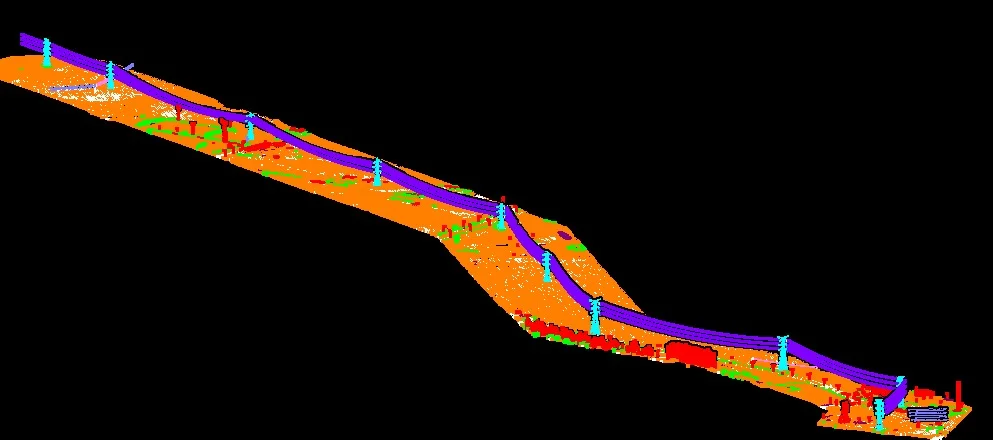
Powerline vegetation danger-zone analytics.

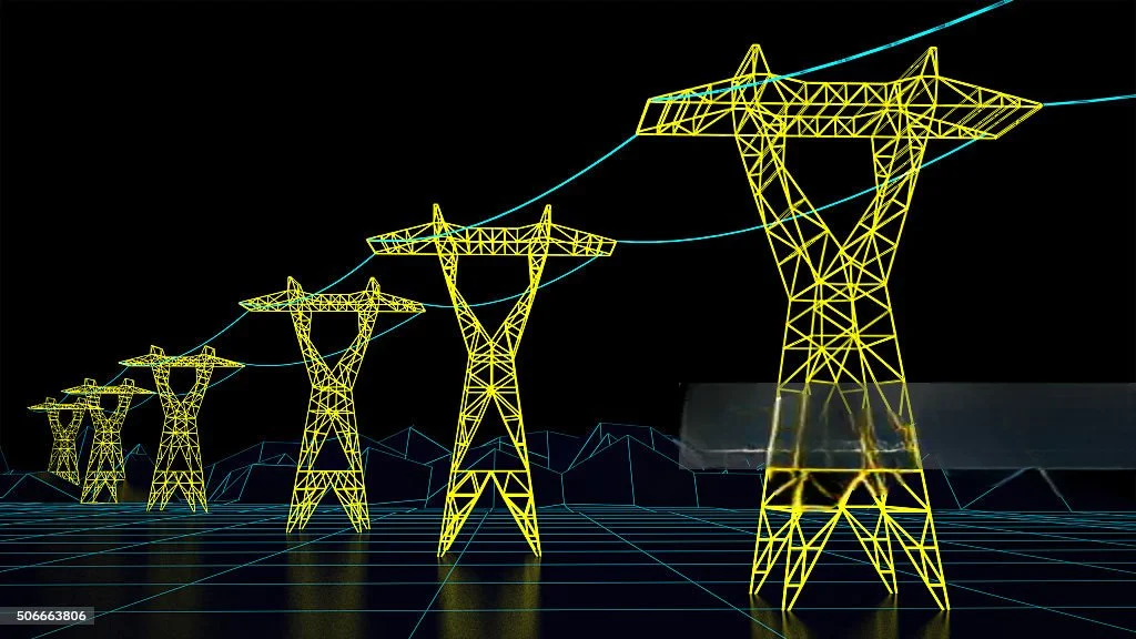
For utility corridors, the point is not simply to see vegetation. It is to understand its relationship with the line, structure, terrain and clearance envelope—and turn that relationship into actionable information.

ClearanceDistance to conductors
Growth BufferFuture-risk consideration
Fall ZonePotential hazard area
Powerline LiDAR vegetation analytics
Deliverables

What the work becomes.

The value of processing is visible in the final outputs. Depending on the assignment, the same underlying spatial information can be delivered in several useful forms.

GIS

Structured Spatial Data

Features, attributes and layers organized for mapping and operational use.

ENGINEERING

Terrain & Analysis

DTM, DSM, DEM and spatial measurements that support engineering decisions.

3D / BIM

Models & Assets

3D representations and BIM-oriented outputs for visualization and project workflows.

QA

Verified Delivery

Checked datasets and consistent outputs prepared for downstream use.

HAVE DATA? HAVE A PROJECT?

Tell us what you have. We'll help define what it can become.

Share your source data, project objective and expected deliverable. We can help shape a processing workflow around the actual requirement.