01 · STRUCTURE
Schema and data cleanup
Review incoming layers, attributes, coordinate systems, geometry validity, duplicates and required naming conventions.

GeoProcess Consulting helps organizations organize geospatial datasets into dependable GIS layers, databases and map deliverables. Services can support utilities, transportation, telecom, land information and engineering programs.
 POINT CLOUD
ENGINEERING DATA
GIS INTELLIGENCE
A dependable GIS product needs more than clean geometry. Attribute structure, coordinate reference systems, topology, naming conventions and documented QA all help make data easier to maintain and use across teams.
Review incoming layers, attributes, coordinate systems, geometry validity, duplicates and required naming conventions.
Create or update mapped features, join attributes, prepare spatial datasets and perform the analysis steps defined in the project brief.
Run agreed checks for gaps, overlaps, invalid geometry, missing attributes and consistency before assembling delivery files.
GIS production is more than drawing features on a map. Layers must align spatially, carry consistent attributes and follow topology and delivery rules so teams can analyse and maintain them.
Review coordinate reference systems, field names, data types, unique IDs, domains and required attributes. Align the data model to client standards before bulk editing or migration.
Check gaps, overlaps, duplicate geometry, invalid shapes, connectivity and missing or inconsistent attributes against agreed rules. Record exceptions instead of silently changing uncertain features.
Prepare GIS layers, geodatabases, spatial tables, map layouts and exchange files with clear naming, metadata and a documented QA summary.
Digitized feature layers, utility/asset inventories, cleaned geodatabases, topology-error reports, spatial joins, thematic maps and data prepared for CAD or WebGIS publishing.
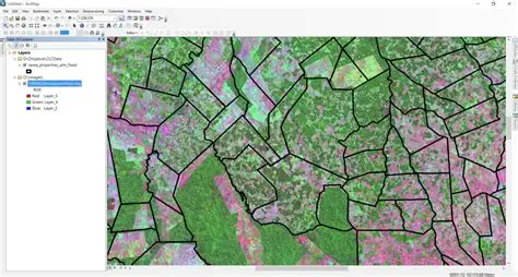
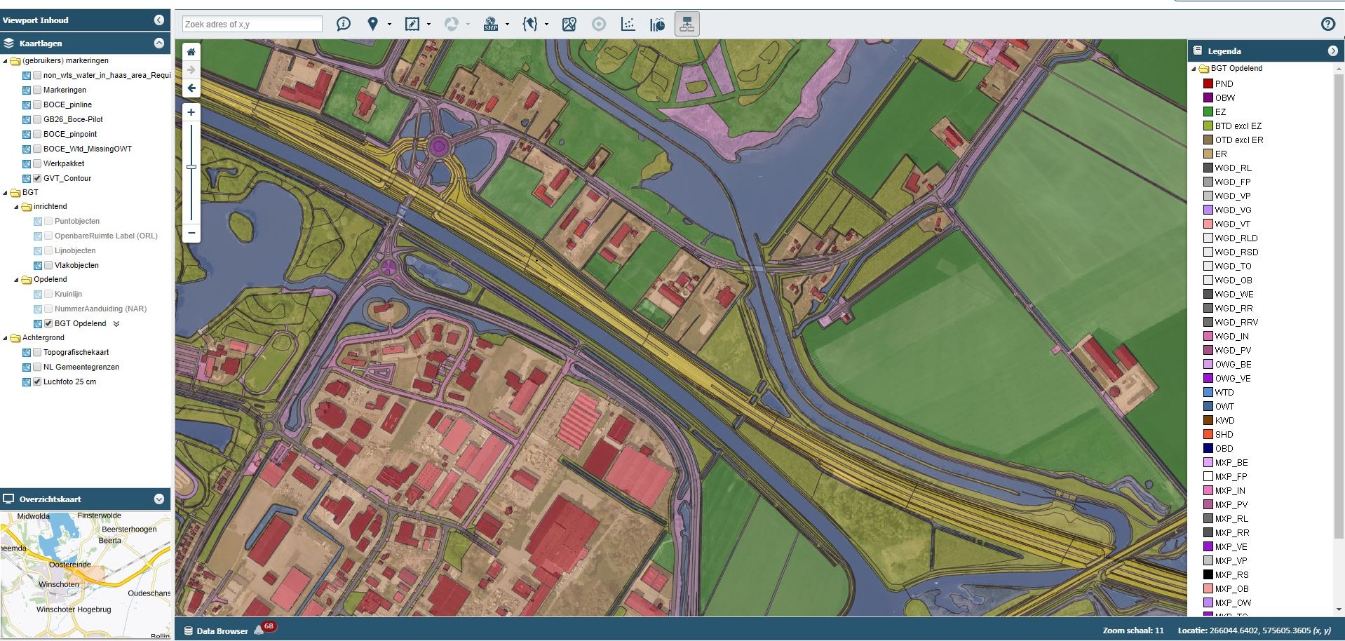
Illustrative outputs from related geospatial workflows. Final deliverables are agreed to the project specification.
Source data, coordinate systems, target schema and quality rules are agreed with the client before editing begins.